Introduction

Upland swamps are vegetated freshwater wetlands occurring in shallow basins located in low hills or mountains. This wetland type includes shallow marshes, sedge swamps, ‘hanging’ swamps, wet heaths and peat swamps.
Higher altitude swamps
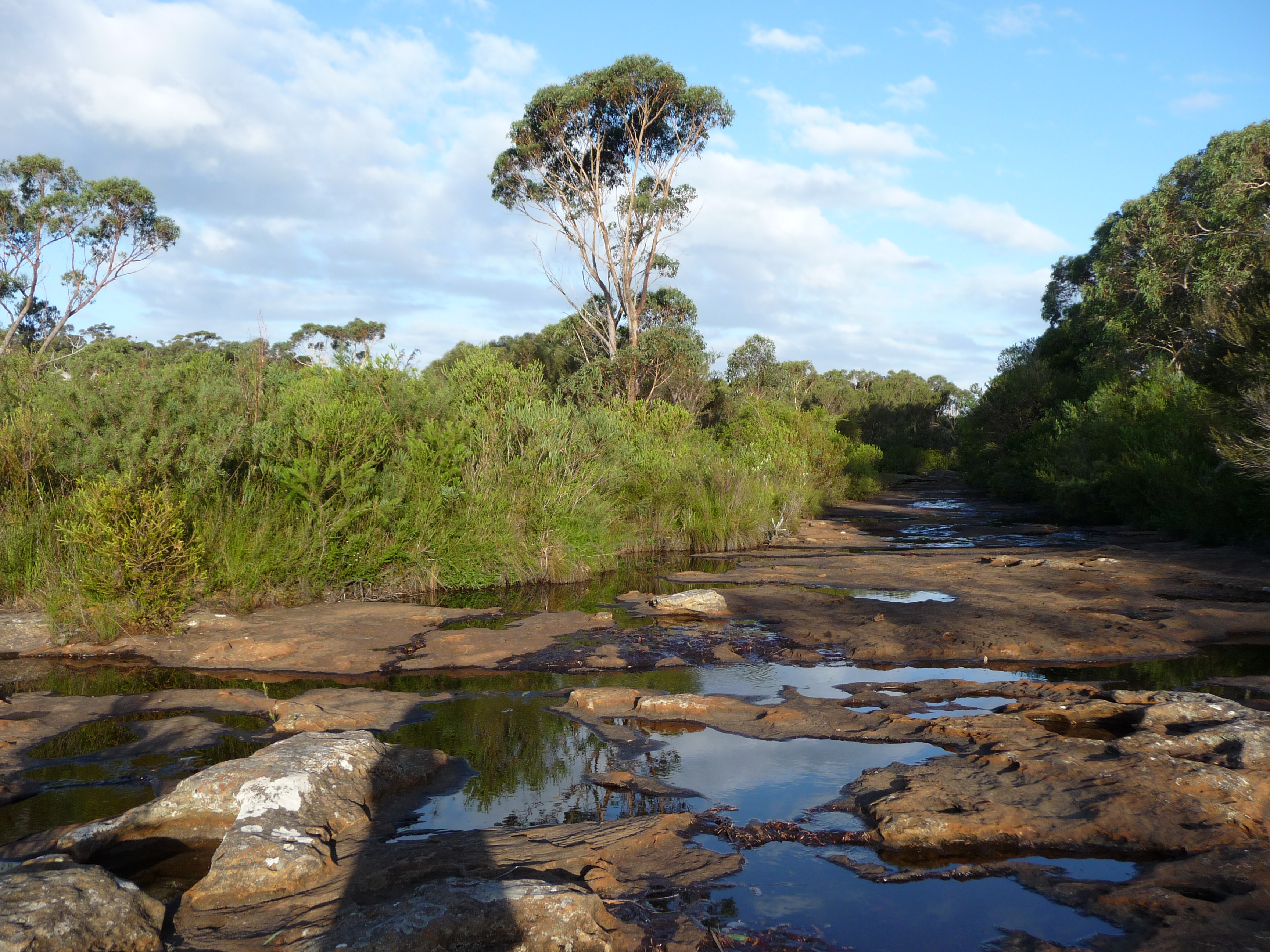
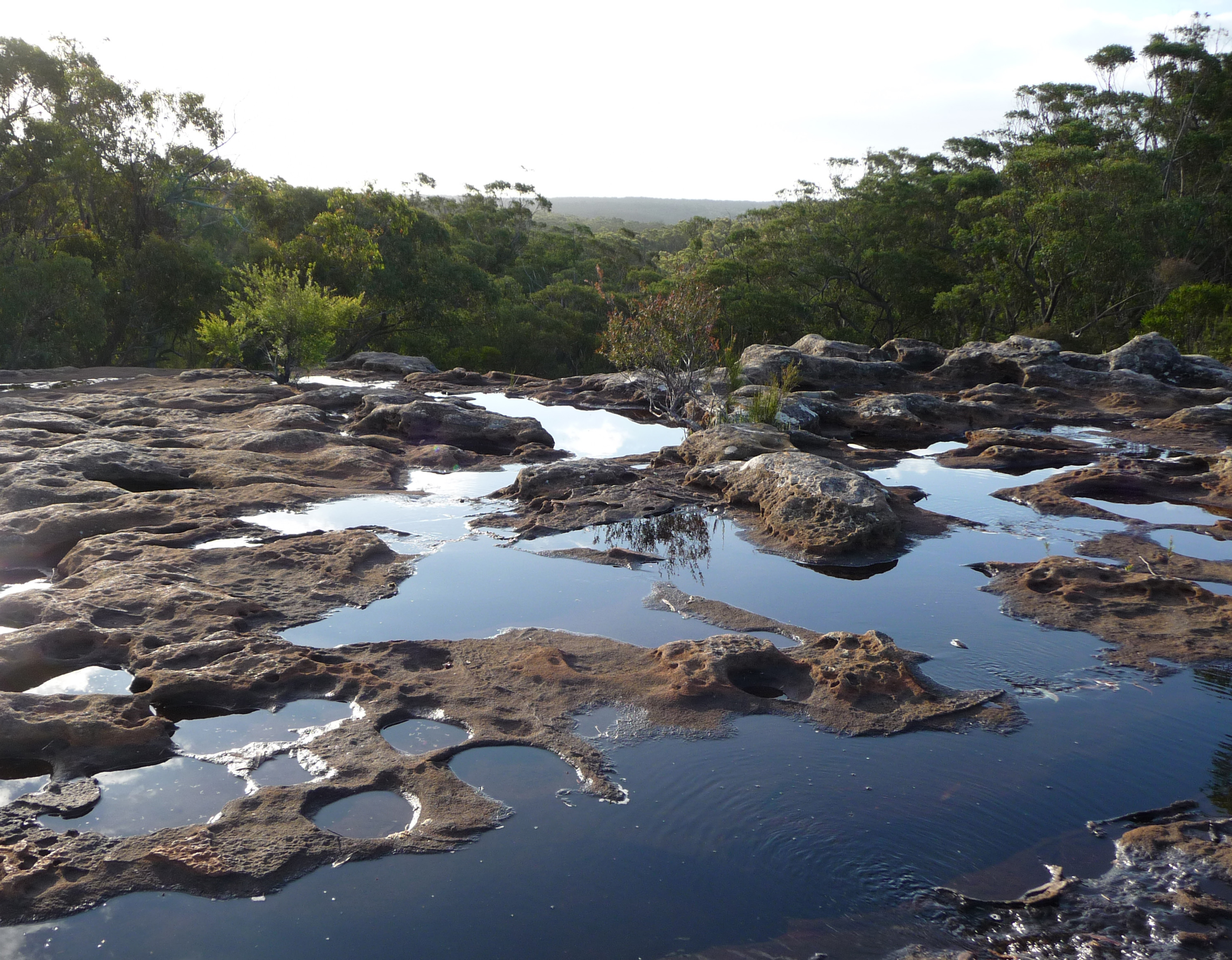
People normally recognise low lying estuarine swamps, with mangroves, around rivers and coastal bays. Yet very different types of swamps can also be found perched up high on the top of sandstone plateaux. They act like giant sponges, collecting rain water and sediment. The sediments are far too soggy and oxygen poor for trees, yet ideal conditions for a wide range of wet heath plants and sedges. These swamps feed water constantly, even in dry times, into a myriad of tiny freshwater streams that become the headwaters of major rivers.
The Dharawal Reserves
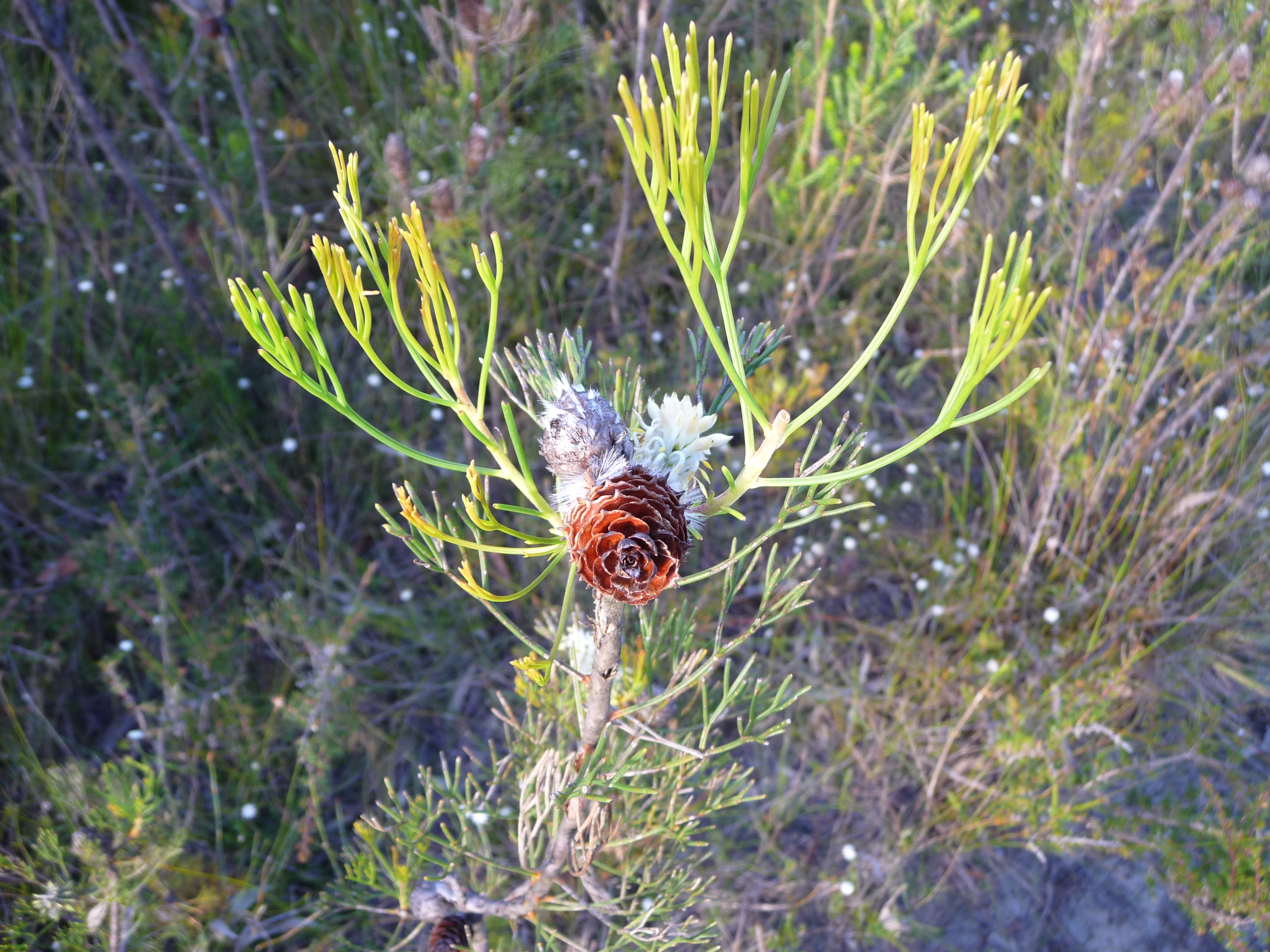
An example of such an ecosystem is the upland swamps of the Dharawal Reserves, on the Woronora Plateau, just south of Sydney and just north of Wollongong. They occur at an elevation of around 400 metres above sea level, and depend on high rainfall, with 1500 mm p.a recorded at Maddens Plain in the south-east corner of the Reserves. They have been described as amongst the most species rich sedge-heath communities in the world, with more than 500 recorded species.
Vital habitat
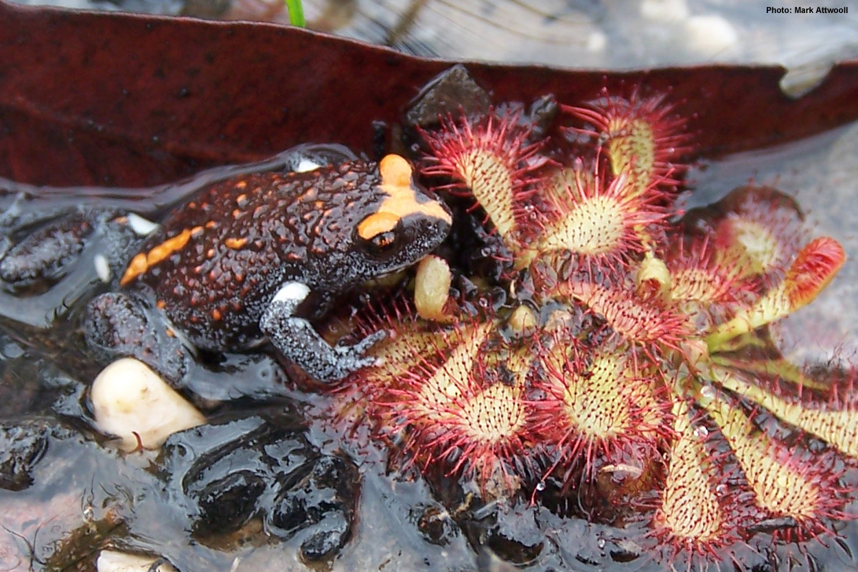
These upland swamps are the key habitat for at least 12 of the most threatened fauna species in Australia, including the Ground parrot, Beautiful firetail, Eastern bristlebird and the Giant burrowing frog.
Key water source
Apart from habitat value, they are hydrologically important in terms of both water quantity and quality. They filter and store water, releasing it constantly and slowly, feeding the network of the small streams that flow out of them. The upland swamps of the Woronora plateau, for example form the headwaters of 3 important river systems. They are the Cataract and Woronora, which provide drinking water to Wollongong and southern Sydney respectively and the Georges River that forms the recreational centre piece of a catchment with almost of million people downstream.
Location

Apart from the Woronora Plateau, upland swamps are found scattered in small pockets all along the high sandstone country along the Great Dividing Range in NSW. Around Sydney they also occur on the Hornsby Plateau to the north and the Blue Mountains to the west, elsewhere they are found on the Southern and Northern Tablelands.
Characteristics
Whilst they all share similar characteristics in terms of their soggy peat like soils and heath vegetation, they do vary. The Blue Mountains swamps form hanging swamps that are prominent on steep valley sides. Others like the Wingecarribee Swamp and many of Dharawal, occur in natural bowl like depressions or along watercourses.
Google Earth
An example of an Upland swamp lies in the Dharawal Nature Reserve on Google Earth. To move out of street view level and look at the wider area click the yellow person icon in the bottom right hand corner. This resource will only work in the Google Chrome browser.
Significance
The Australian federal government have identified some upland swamps as endangered ecological communities, and included them in its Threatened species and ecological communities publications under a category called Temperate highland peat swamps on sandstone.
Value
In recognition of its immense nature conservation, water quality and archaeological values, Dharawal has been listed on the Directory of important wetlands in Australia and nominated as one of the 50 top high conservation status mainland islands in Australia.
The Dharawal people
This reserve takes its name from the traditional custodians, whose land extends across the Woronora Plateau, and from what is now Botany Bay to the north, to Nowra to the south and the Georges River to the west. Their occupation, known to be over 15 000 years, is etched across this landscape, with art work in sandstone overhangs where the swamps meet cliffs, and many axe grinding grooves where the swampy streams flow out across rocky pavements.
Conservation

Upland swamps are considered particularly fragile, and their recovery is very slow after disturbance. Inappropriate recreational uses like horse riding, 4WD and trail bike riding, weeds and feral animals like foxes and deer are recognised threats in Dharawal.
Bushfire threat
Whilst fire is part of the Australian landscape, fires that are too frequent or intense are considered a threat. Species extinctions and declines have been linked to fire in upland swamps. Across the upland swamps of the Woronora Plateau, population declines in the Eastern bristlebird, Ground parrot, the Eastern Pygmy possum and the Beautiful firetail are linked to the combined effects of an increase in the fire regime and predation by the introduced species, foxes and feral cats, since European settlement.
Mining
One of the greatest and most current threats recognised to the upland swamps of the Woronora Plateau is surface subsidence as a result of longwall coal mining. It is frequently associated with stream bed and rockbar fracturing, and the loss of surface and near to the surface groundwater. Swamps can be dried out and desiccated, this a particular threat to the vegetation which is highly moisture dependant, and increases the fire risk across the whole landscape.
Environmental education centres
The Georges River EEC is located on the Georges River, at the heart of one of the most urbanized river catchments in Australia. Despite this more than 40% of the land area of the catchment remains natural, and much of that is in protected reserves.
Excursions
Our excursions and fieldtrips are organised quite flexibly to take advantage of both these more pristine areas and smaller remnants of swamp, bushland, freshwater and saltwater environments. We focus on river quality monitoring, bush care and sustainable resource management and practise to foster an ethic of care and citizenship in schools and students who participate in our programs.
Other locations
The following Environmental Education Centres can be contacted regarding upland swamps in their area:
-
Wooglemai EEC for Southern Highlands upland swamps
-
Thalgarrah EEC for Northern Tablelands
-
Rumbalara EEC for Hunter/Central Coast
-
Cascade EEC for North Coast
Further information

-
Transcript of Proposed NSW mine threatens conservation site (ABC News, 17 May 2010)
-
Types of wetlands in NSW (NSW Office of Environment and Heritage)
-
Rivers and water (Total Environment Centre) for information about the impact of longwall coalmining on rivers and drinking water catchments.
-
Australian Native Plants Society – Isopogon Photo Gallery
-
Frogs of Australia – The frogs of New South Wales
-
NSW Office of Environment & Heritage - Coastal Upland Swamp in the Sydney Basin Bioregion
-
Wikipedia – Swamps of the Blue Mountains
-
Sydney Morning Herald - Mining 'threat to swamps and rock art’