Introduction

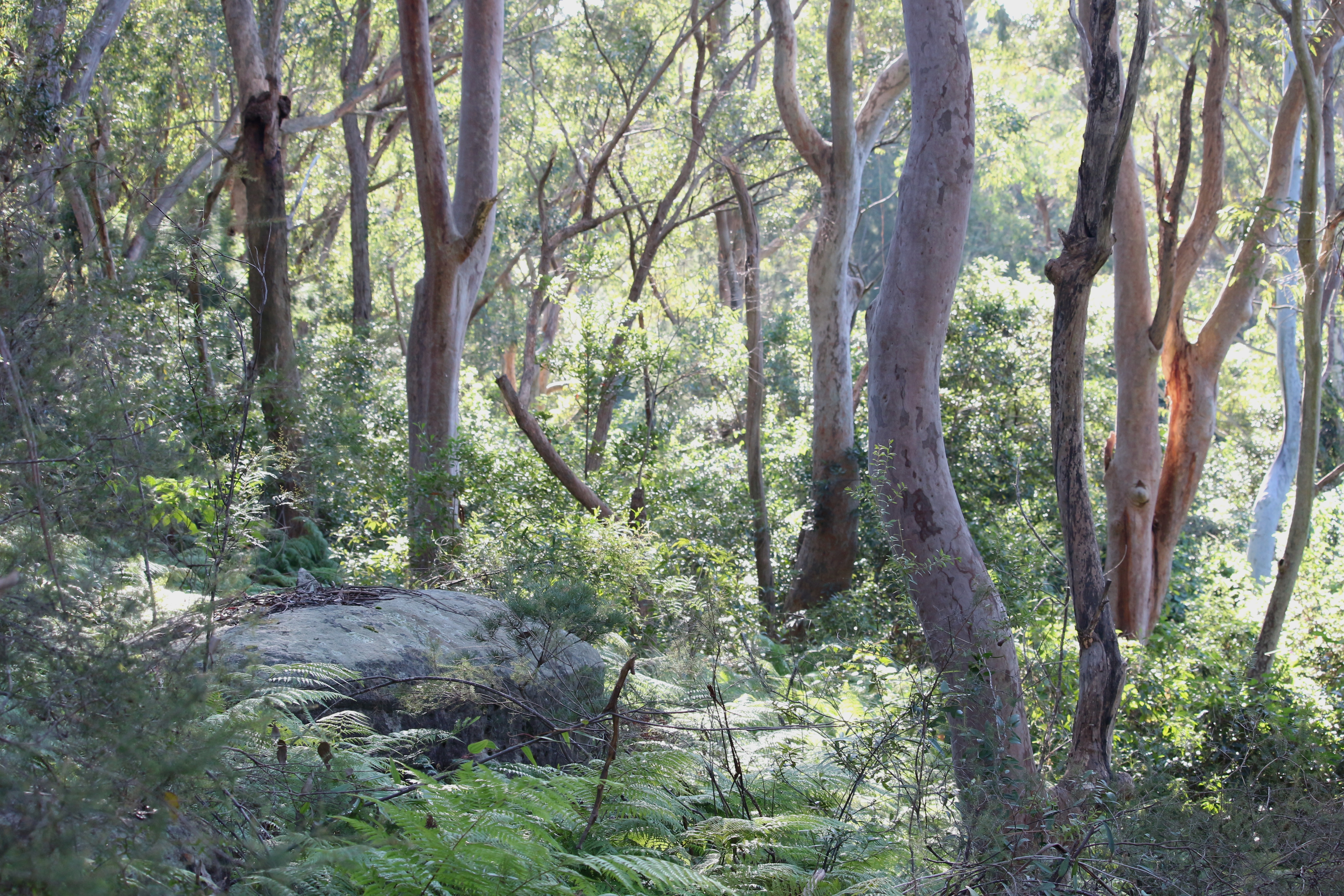
The borders between the dissected sandstone plateaux of Sydney Basin and the coastal river floodplains of the Hawkesbury/Nepean and Georges Rivers provide a diversity of environments called Sydney Coastal Dry Schlerophyll. Ridge top vegetation communities are characterised by trees to a height of 10 - 25m with a dense shrub layer and a diverse range of grasses and ground covers.
Trees
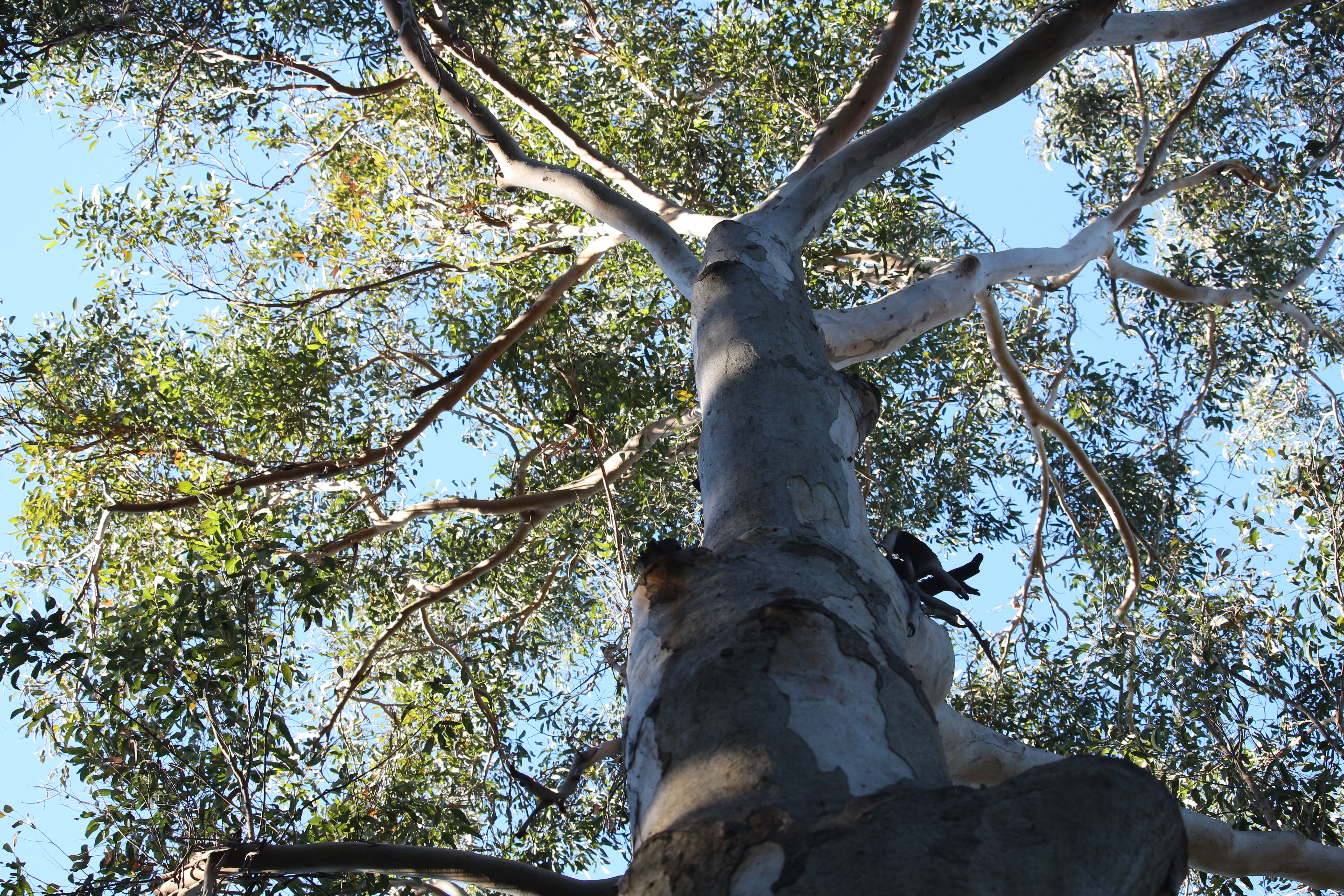
Tree species include, but are not limited to, Ironbark, (Eucalyptus crebra), Red and Yellow Bloodwoods, (Corymbia gummifera, Corymbia eximia), Grey Gum (Eucalyptus punctata).
Shrubs and ground cover
Shrub species may include Wattle species (wattle), Mountain Devil (Lambertia formosa), Hopbush (Dodonaea triquetra) and Geebung species (Persoonia). Common ground fern (Calochlaena dubia) and bracken (Pteridium esculentum) are common in sheltered sites, while Oat Speargrass (Anisopogon avenaceus), Lomandra, kangaroo (Themeda triandra) and Wallaby (Danthonia sp) grasses inhabit the forest floor.
Different types of open forest
On sheltered hillsides and in sandstone gullies is open forest of Sydney Peppermint, (Eucalyptus piperita), Sydney Red Gum (Angophora costata), and magnificent Mountain Blue Gum (Eucalyptus deanei) reaching upwards of more than 30 metres on the rich alluvial soil of the valley floor.
Animals
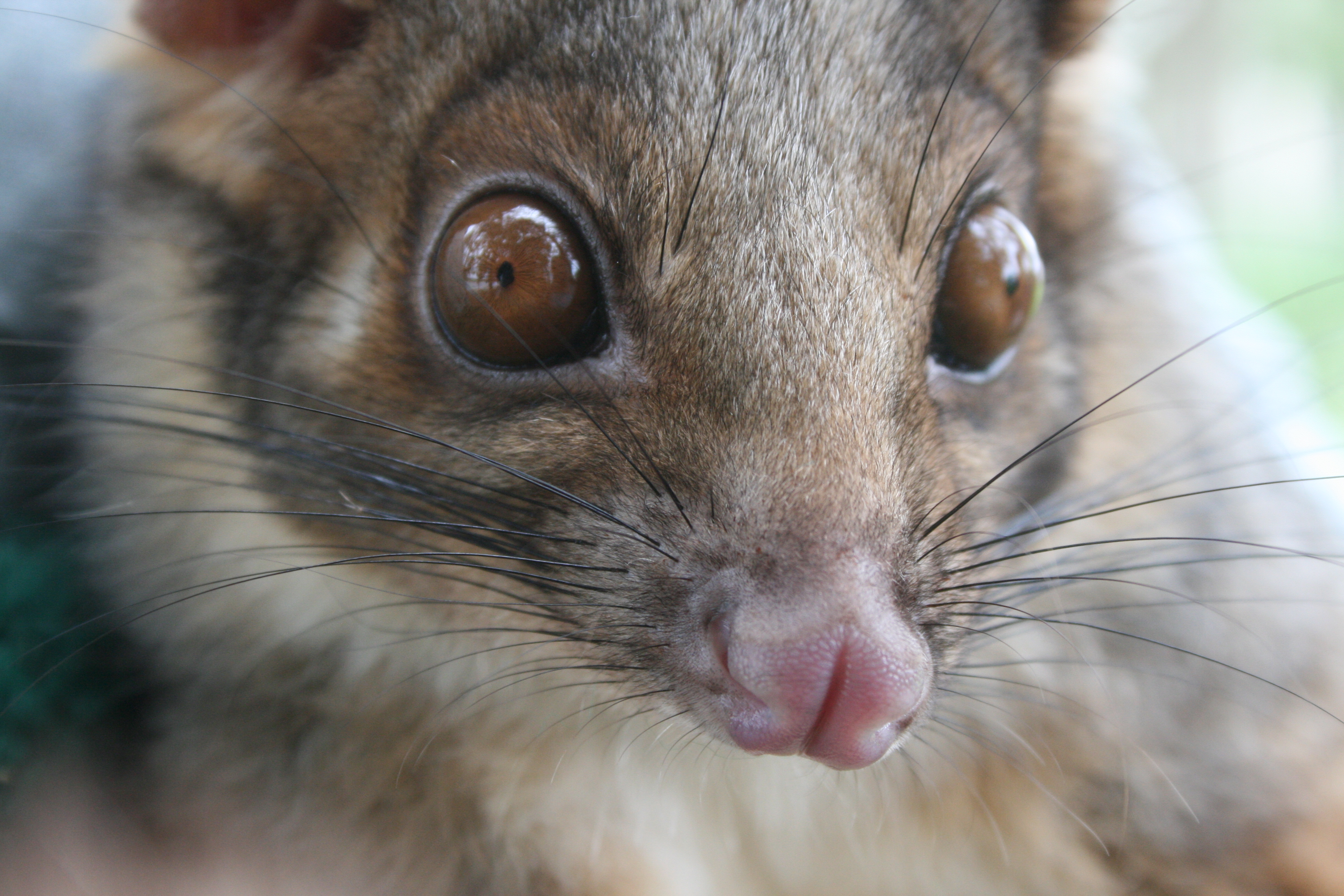
Major animal species include the Spotted-tailed quoll (Dasyurus maculates), Long-nosed potoroo (Potorous tridactylus), Powerful Owl (Ninox strenua), Brush-tailed Phascogale (Phascogale tapoatafa), Yellow-bellied Glider (Petaurus australi), Squirrel Glider (Petaurus norfolcensis), Sugar Glider (Petaurus breviceps) and Grey-headed Flying Fox (Pteropus poliocephalus).
Location

The Sydney hinterland dry sclerophyll forests only occur in the Sydney basin and extend north-west from Hornsby to the Blue Mountains World Heritage Area.
They are located on sandstone ridges, slopes and gullies with infertile soils, mostly below about 600 m elevation, where mean annual rainfall varies between 650 and 950 mm.
There are extensive tracks in Yengo and Wollemi National Parks. Further south they form a narrow band surrounding the Cumberland Plain from Lapstone south to Picton, and from Wilton north-east to Holsworthy.
Google Earth
An example of a Sydney Sclerophyll forest lies in the area around Bobbin Head on Google Earth. To move out of street view level and look at the wider area click the yellow person icon in the bottom right hand corner. This resource will only work in the Google Chrome browser.
Significance
Threatened ecosystems
Contained within these forest areas are several endangered ecological communities:
-
Maroota Sands Swamp Forest is an open-Forest with a canopy dominated by Swamp Mahogany (Eucalyptus robusta). The community found on the Maroota sand mass is approximately 160m above sea level.
-
Western Sydney Dry Rainforest is very restricted and occurs most commonly in the far southern section of the Cumberland Plain, in the Razorback Range near Picton. Outlying occurrences have been recorded at Grose Vale and Cattai. This ecosystem is restricted to hilly country where it occurs on the sheltered lower slopes and gullies.
-
River-Flat Eucalypt Forest on Coastal Floodplains is found on the river flats of the coastal floodplains. It has a tall open tree layer of eucalypts, which may exceed 40m in height.
Threatened animals
Vulnerable species listed under the NSW Threatened Species Conservation Act (1995) include:
Conservation

Habitat loss/change
As a result of urban expansion, land clearing and the gathering of bushrock for suburban gardens habitats for animals are being lost.
Pest Animals
Examples include foxes, rabbits and feral cats and dogs. These introduced species compete with, and prey upon, native animals. They can also damage native plants and degrade natural habitats. The fox and rabbit are listed as Key Threatening Processes under the NSW Threatened Species Conservation Act (1995).
Weed Invasion
Examples include lantana, privet and crofton. These introduced species compete with native plants for resources such as light and nutrients. They can aggressively invade areas, displacing native plants and animals.
Bushfires
There are significant ecological consequences of high frequency bushfire. While many species are able to resprout follow fires with buds under the bark or underground; fires that occur too frequently can disrupt the life cycle of the plants. Frequent bush fires also have a detrimental effect on the fauna within these forests due to loss of food sources and habitat.
Human induced climate change
According to NSW Government, CSIRO and Bureau of Meteorology projections, the NSW community needs to prepare for higher temperatures, rising sea levels, less rainfall, more frequent and more severe droughts and more extreme storms. These changes are likely to have significant impacts on natural resources, biodiversity and human health.
Environmental Education Centres

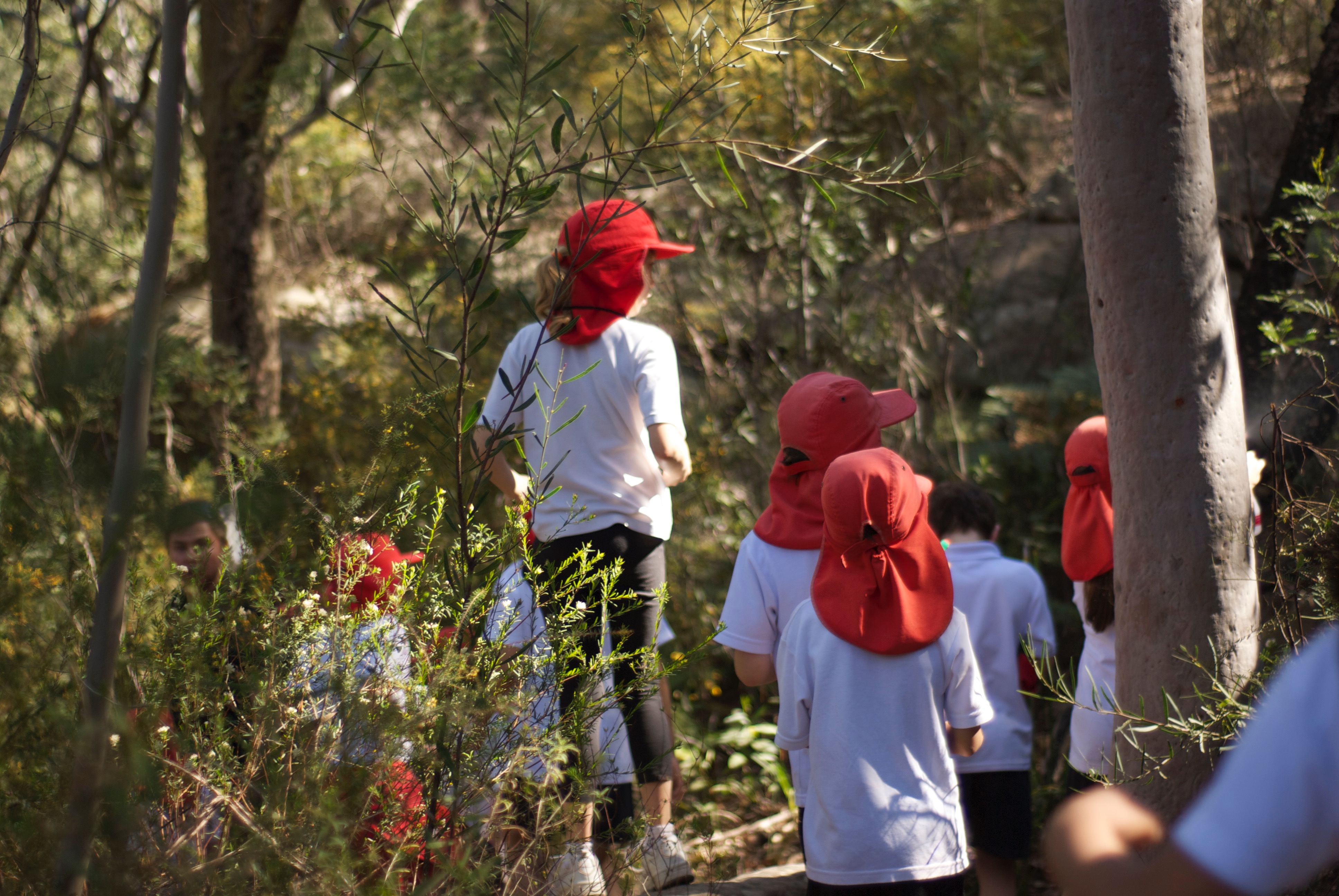
Sydney Hinterland Dry Sclerophyll Forests and Western Sydney Dry Rainforest (an Endangered Ecological Community) are utilised by Brewongle EEC for engaging investigations using scientific methods and equipment.
Working Scientifically skills
Students perform first-hand investigations to:
-
collect data
-
measure abiotic factors
-
record observations of tree, shrub and ground cover layers
-
test and analyse soil properties
-
assess the carbon store of trees
-
assess the health of a vegetation community
-
observe and discuss human impacts and management strategies.
Key learning area (KLA) topics may include but are not limited to:
-
Stage 6 Biology
-
Stage 6 Earth & environmental science
-
Stage 5 Geography
-
Stage 4 &5 Science
For further information on these programs visit the Brewongle Environmental Education Centre webpage.
Further locations
Other Environmental Education Centres that provide access to dry sclerophyll in the Sydney area include:
-
Wooglemai (South Western Sydney)
-
Georges River (South Western Sydney)
-
Gibberagong (Northern Sydney)
-
Field of Mars (Northern Sydney)
-
Rumbalara (Hunter/Central Coast)
Further information
Information on the following endangered ecological communities:
Additional place of interest
Maroota Ridge State Conservation Area lies at the north-western edge of the Sydney metropolitan area. The reserve provides habitat and refuge to a range of species typical of those found in Sydney Sandstone environments, including a number of threatened species.