Introduction
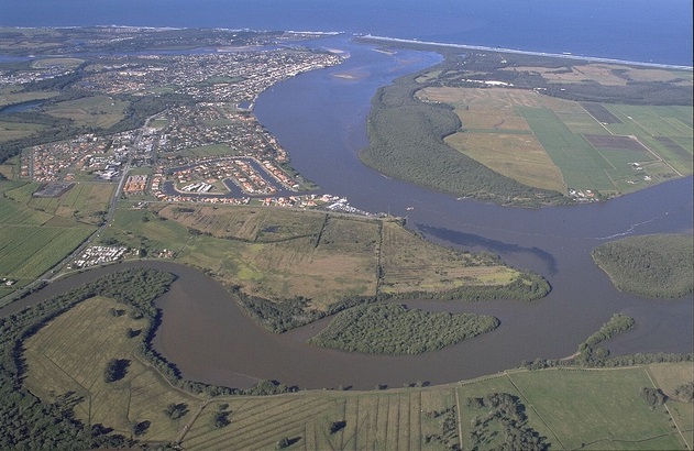
An estuary is a partially enclosed coastal body of water ... part sea ... part waterway ... part land, a place of transition from salt water to fresh water, from tidal to non-tidal, and from wet to dry.
Estuaries are diverse
Estuaries come in all shapes and sizes and go by many different names, such as bays, lakes, lagoons, harbours, rivers or inlets. Some well-known examples in NSW include Sydney Harbour, Botany Bay, Port Stephens, Lake Macquarie, and the tidal sections of coastal rivers such as the Clarence, Richmond, Hawkesbury and Tweed.
Importance
Estuaries provide a wide range of unique ecosystems where the conditions are constantly changing as the tide ebbs and flows each day. The protected coastal waters of estuaries also support important public infrastructure, serving as harbours and ports vital for shipping, transportation, and industry. It is therefore important we protect and sustainably manage our estuaries, both for environmental and economic reasons.
Location

There are many estuary systems in NSW from small creek systems to the expanse of Brisbane Water near Gosford. The NSW government maintains an excellent online index of estuaries with 128 estuaries on this list.
The Hunter Estuary
One example is the Hunter Estuary is at the mouth of the Hunter River at Newcastle on the lower north coast of NSW. The Hunter Estuary is the second largest estuary in NSW, comprising over 100 km of waterways and extending some 75 kilometres in land from the ocean. Large areas of the estuary are protected for conservation values.
Hunter national parks
The Hunter Wetlands National Park is located within the estuary and covers an area of over 4000 hectares. The National Park is the largest wetland reserve within a single estuary in NSW. Shortland Wetlands and part of the Hunter Wetlands National Park form the Hunter Estuary Wetlands RAMSAR site under the Ramsar Convention.
Environmental data
Maps and downloadable environmental data for NSW are available at the Federal Bureaus of Meteorology site Groundwater Dependent Ecosystems Atlas.
Google Earth
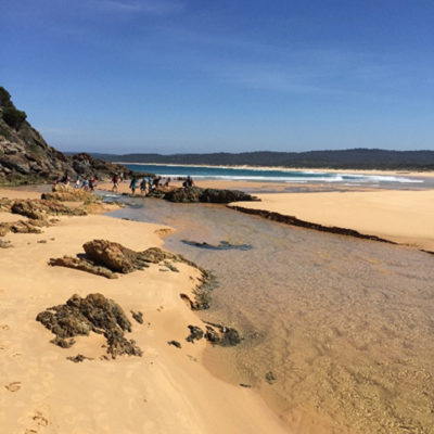
An example of an estuary lies in the area around the Bournda National Park on Google Earth. To move out of street view level and look at the wider area click the yellow person icon in the bottom right hand corner. This resource will only work in the Google Chrome browser.
Significance
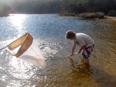
Estuaries provide a diverse range of habitats including saltmarsh, mangroves, wetlands, reed swamps and forested areas.
Critical habitat
Estuaries are critical for the survival of many species. Tens of thousands of birds, mammals, fish, and other wildlife depend on estuarine habitats as places to live, feed, and reproduce.
Fish
Many species of fish and shellfish rely on the sheltered waters of estuaries as protected places to spawn, giving them the nickname "nurseries of the sea." Hundreds of marine organisms, including most commercially valuable fish species, depend on estuaries at some point during their development. The Australian Museum is exploring the importance of estuarine habitats in the life histories of key NSW fish.
Birds
Estuaries provide ideal spots for migratory birds to rest and refuel during their journeys. The Hunter Estuary has supported more than one percent of the Australian populations of sixteen migratory wading species (Smith 1991). Based on this criterion the Hunter Estuary has been ranked as the fifth most important site for shorebirds in Australia (Watkins 1993) and the most important area for shorebirds in NSW (Smith, 1991). This includes seasonally migratory birds protected by international treaties and intergovernmental agreements (JAMBA, CAMBA, ROKAMBA, Ramsar).
Land area
The Hunter Estuary includes NSW’s second largest estuarine mangrove area (15 km2) and third largest saltmarsh area (5 km2).
Conservation
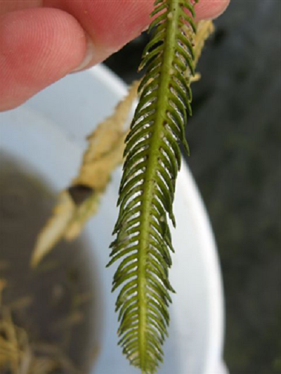
The Hunter Estuary is arguably one of the most complex estuaries in NSW to manage due to different types of land use and tenure, major industrial activity and the conservation status of large areas of the estuary. Waterwatch NSW provides resources for community groups and schools to gather data and undertake conservation activities around estuaries.
Industry
The Hunter Estuary includes the Port of Newcastle, Australia’s largest coal export facility, capable of loading very large vessels. A range of other commercial activities exist within the estuary, including tourism, commercial and recreational fishing, ship building and maintenance, and general industry. Many of these contribute sediments and pollutants to the estuary that threaten the health and productivity of this ecosystem.
Land clearing
Due to the demand for industrial land, the estuary has been substantially modified. Land clearing and reclamation for urban and industrial areas, together with the associated restriction of tidal inundation, have severely reduced estuarine habitat areas. Over 50 per cent of the Hunter Estuary wetlands have been lost over the years. Land management issues for the local governments of NSW often include a need for estuary management.
Environmental education centres
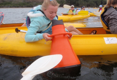
The Wetlands Environmental Education Centre is located at Hunter Wetlands Centre (HWCA) which includes Shortland Wetlands, part of the Hunter Estuary Ramsar site.
Shortland Wetlands
Shortland Wetlands is connected to the Estuary by a wildlife corridor consisting of Ironbark Creek, the Hunter River and Ash Island. Shortland Wetlands 45ha site includes a sample of wetland types that are found elsewhere in the Hunter estuary. These include high conservation value near-natural wetlands (Melaleuca Swamp Forest, freshwater reed marsh, coastal estuarine mangrove-lined creek) and high conservation value artificial wetlands (constructed freshwater lagoons, coastal estuarine Casuarina-lined channel, model farm dam). It is the only complex of this type found within the Sydney Basin biogeographic region.
Other locations
Many Environmental Education Centres in NSW can assist with studies of estuaries including:
-
Bournda (South Coast)
-
Illawarra (South Coast)
-
Royal National Park (Sydney)
-
Botany Bay (Sydney)
-
Rumbalara (Hunter/Central Coast)
-
Cascade (North Coast)
-
Dorroughby (North Coast)
-
Field of Mars (Northern Sydney)
-
Gibberagong (Northern Sydney)
-
Georges River (South Western Sydney).
Further information
Publications
Where river meets sea: Exploring Australia’s estuaries Cooperative Research Centre for coastal zone, estuary and waterway management, ISBN 0 9578678 8 3
Estuarine Resources of New South Wales prepared for the Comprehensive Coastal Assessment (DoP) by the NSW Department of Primary Industries, Port Stephens. R.J. Williams, G. West, D. Morrison and R.G. Creese, (2006)
Websites
-
Office of Environment & Heritage – Conservation of Plants and Animals
-
City of Newcastle – Coast and River
-
Hunter Local Land Services - Wetlands
-
OzCoasts – National estuaries network
-
Mangrove watch Australia – New South Wales estuaries